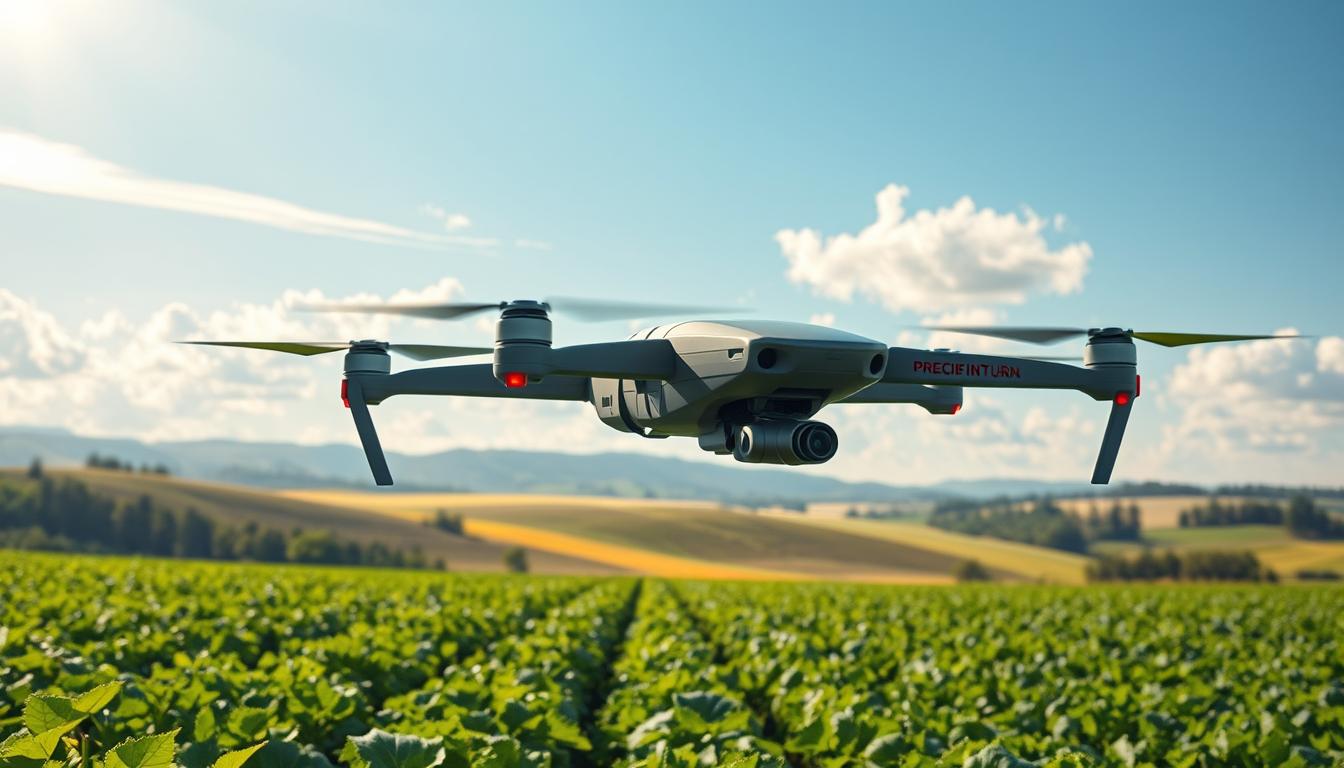
By 2030, the agricultural drone market in India is projected to hit $631 million—but this innovation isn’t confined to one region. Globally, farms are adopting aerial systems that capture data at millimeter-level accuracy, transforming how crops are monitored. These tools detect pests earlier than traditional methods, slashing losses by up to 30% in some cases.
What makes this shift groundbreaking? Advanced algorithms process high-resolution images to map soil health, hydration levels, and plant stress. Farmers receive real-time insights, allowing them to adjust irrigation or fertilizer use within hours—not weeks. This precision minimizes waste while boosting yields, creating a win-win for productivity and sustainability.
The fusion of machine learning and aerial technology doesn’t just streamline workflows. It redefines decision-making, turning guesswork into science. For instance, one Midwest soybean farm reduced water usage by 22% after implementing these systems, proving their scalability across diverse climates.
Key Takeaways
- The agricultural drone sector is expanding rapidly, with India’s market alone nearing $631 million by 2030.
- High-resolution imaging identifies crop issues at early stages, preventing widespread damage.
- Real-time analytics enable immediate adjustments to irrigation and resource allocation.
- Data-driven strategies cut operational costs while improving harvest volumes.
- Environmental stewardship grows as precision tools reduce overuse of water and chemicals.
Introduction to Precision Farming and Drone Imagery
Technological advancements are reshaping how farmers manage their fields from above. Gone are the days of uniform treatments across entire plots. Today’s strategies focus on micro-level adjustments, targeting specific areas needing water, nutrients, or pest control. This shift reduces waste while maximizing output—a critical balance as global food demands rise.
Modern Tools for Smarter Decisions
Lightweight cameras and sensors, pioneered in the early 2010s, now deliver detailed aerial views of crops. These systems capture variations in plant health and soil conditions invisible to the naked eye. Farmers using real-time agricultural analytics report 18-25% fewer chemical inputs without sacrificing yields.
From Data to Action
Machine learning transforms raw field information into practical guidance. Algorithms analyze hydration patterns, nutrient gaps, and early pest signs. One California vineyard slashed water usage by 19% within a season by implementing these insights. Such results highlight how strategic resource allocation drives both profitability and ecological responsibility.
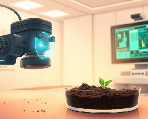
Exploring the AI Use Case – Precision-Farming Drone Imagery Analysis
Modern farming now operates at the intersection of biology and digital innovation. Cutting-edge aerial systems collect hyper-detailed field data, revealing patterns that human scouts might miss for weeks. This approach transforms raw observations into strategic guidance—like having a botanist and data scientist working in tandem above every acre.

Key Concepts and Terminology
Multispectral imaging captures light wavelengths beyond human vision, exposing hidden stress signals in plants. NDVI (Normalized Difference Vegetation Index) maps translate these readings into color-coded “health reports” for entire fields. One study showed farms using this method detected irrigation issues 14 days faster than traditional scouting.
Machine learning models process terabytes of aerial data, spotting subtle changes in crop vigor. These systems compare current conditions against historical patterns, flagging anomalies like nutrient gaps or early pest activity. A California almond grower reduced fungicide use by 27% after adopting such precision farming strategies.
Thermal sensors and RGB cameras work together, creating layered insights. Soil moisture maps guide irrigation, while chlorophyll measurements inform fertilizer plans. This fusion turns guesswork into targeted action—proving technology’s role in sustainable agriculture isn’t optional, but essential.
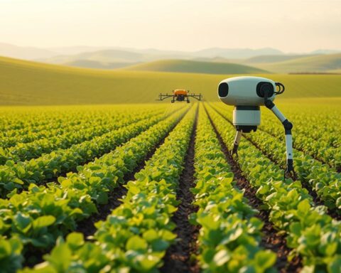
Transforming Farming with Drone Technology
Agricultural practices are undergoing a silent revolution as aerial systems redefine efficiency standards. Fields once managed through labor-intensive walks now benefit from eyes in the sky—tools that map, measure, and diagnose with surgical precision.
Evolution of Agricultural Aerial Systems
Early prototypes from the 2000s focused on basic photography. Today’s models carry multispectral sensors and thermal cameras, creating layered maps of plant vitality. One Nebraska cooperative reduced herbicide costs by 34% after upgrading to variable-rate spraying drones.
Redefining Field Surveillance
Continuous observation replaces seasonal checkups. Drones detect chlorophyll shifts indicating nitrogen deficits—sometimes weeks before visual symptoms emerge. A Texas cotton grower prevented 40 acres of blight through early fungicide deployment guided by aerial alerts.
| Metric | Traditional Methods | Drone-Assisted |
|---|---|---|
| Field Coverage Time | 5 days/100 acres | 45 minutes/100 acres |
| Disease Detection Accuracy | 72% | 94% |
| Water Usage Efficiency | 65% | 89% |
Resource allocation transforms when hydration maps inform irrigation schedules. Farmers report 17-23% yield improvements after adopting data-driven planting patterns. These tools don’t just watch crops—they anticipate needs, turning reactive management into proactive strategy.
Crop Health Monitoring and Soil Analysis
Farmers now access microscopic-level insights about their fields through next-gen tools. These systems merge aerial observations with ground-level measurements, creating a complete picture of plant vitality and earth chemistry.
Advanced Imaging Techniques for Crop Insight
Multispectral sensors uncover hidden stress signals in plants by analyzing light reflection patterns. Chlorophyll levels, water retention issues, and early disease markers become visible through color-coded field maps. A Kansas wheat farm recently identified nitrogen deficiencies across 12 acres using this method—weeks before yellowing appeared.
Managing Soil Nutrients and Moisture
Smart sensor networks track soil conditions in real time, from pH fluctuations to moisture distribution. This data guides targeted fertilizer applications, reducing waste while maintaining optimal nutrient levels. California citrus growers using these systems report 15% higher fruit quality scores.
| Parameter | Traditional Approach | Smart Monitoring |
|---|---|---|
| Nutrient Application | Whole-field coverage | Zone-specific treatment |
| Moisture Detection | Manual soil sampling | Continuous sensor updates |
| Response Time | 7-10 days | Instant alerts |
Combining aerial scans with soil probes creates adaptive management plans. Farmers adjust irrigation based on root-zone hydration data, preventing both drought stress and waterlogging. One Iowa corn operation boosted yields by 19% while cutting water use by 28% through this dual approach.
Precision Farming: Benefits and Impact on Resource Optimization
Agricultural economics are being reshaped by methods that pair targeted treatments with measurable outcomes. These approaches cut waste while amplifying productivity—a critical balance as climate pressures intensify.
Maximizing Yields through Targeted Interventions
Modern techniques enable farmers to address field variability with surgical accuracy. By analyzing hydration patterns and nutrient distribution, they apply fertilizers only where crops show deficiency. One Ohio soybean operation boosted yields by 19% using zone-specific treatments—without increasing chemical inputs.
Early pest detection proves equally transformative. Systems identify infestations 10-14 days faster than manual scouting, allowing swift countermeasures. This precision slashes crop loss while reducing pesticide use by up to 35%—a win for both profitability and ecosystems.
Financial returns further validate these strategies. Data from advanced agricultural strategies show $2-$12 savings per acre through optimized resource allocation. Water usage often drops 20-25%, as irrigation aligns with real-time soil moisture readings.
“We’re not just growing crops smarter—we’re rebuilding farming’s relationship with nature.”
Long-term sustainability gains emerge through reduced chemical runoff and soil degradation. These methods preserve land viability while meeting stricter environmental regulations—future-proofing farms against shifting market demands.
Real-Time Data Analytics and AI in Agriculture
Fields now speak through numbers, translating plant whispers into actionable strategies. Continuous streams from soil probes, weather stations, and aerial systems merge into dynamic dashboards—tools that turn uncertainty into clarity.
Intelligent Field Management
Advanced algorithms process data from multiple sources, identifying patterns invisible to human analysis. One grape grower in Napa Valley prevented a 15% yield loss by acting on machine-generated alerts about mildew risks—48 hours before visible symptoms emerged.
These systems analyze crop genetics, accelerating hybrid development. By cross-referencing weather patterns with plant performance, they suggest seed varieties resistant to drought or disease. Results arrive faster than traditional breeding methods—sometimes cutting trial periods by 60%.
Unifying Ground and Sky Observations
Soil moisture sensors collaborate with aerial scans, creating layered hydration maps. This integration pinspots irrigation needs down to square meters. A Nebraska corn operation achieved 92% water efficiency using this approach—up from 68% with conventional methods.
- Thermal cameras detect plant stress 10 days faster than manual checks
- Nutrient distribution maps reduce fertilizer waste by 30-40%
- Harvest timing predictions improve market readiness by 5-7 days
Dashboards transform complex insights into color-coded alerts. Farmers track canopy health, soil pH shifts, and pest migrations in real time—decisions rooted in evidence, not estimation. As one agronomist noted: “We’re not guessing seasons anymore; we’re engineering them.”
Cost Efficiency and Sustainability in Drone-Enabled Farming
Cutting-edge tools are proving that sustainability and profitability can grow hand-in-hand. The agricultural drone sector—projected to quadruple to $4.8 billion by 2024—makes advanced monitoring accessible to farms of all sizes. Modern systems costing $150,000 now rival equipment priced twenty times higher, democratizing access to precision methods.
Return on Investment for Modern Farmers
Equipment investments often pay for themselves within three growing seasons through labor reductions and optimized inputs. One Midwest operation recovered costs in 26 months by slashing herbicide use 34% and irrigation expenses 22%.
Beyond immediate savings, these systems reduce chemical runoff by 40% and water waste by 28% compared to traditional practices. Soil health improves as targeted treatments replace blanket applications—preserving land viability for future harvests.
Farmers increasingly report dual benefits: 19-23% higher yields paired with measurable ecological progress. This synergy between economic performance and environmental stewardship reshapes how agriculture measures success—proving responsible practices drive lasting prosperity.
FAQ
How does drone imagery improve crop health monitoring?
Drones equipped with multispectral sensors capture detailed aerial images, revealing variations in plant vigor invisible to the naked eye. Machine learning models analyze this data to detect early signs of nutrient deficiencies, pest infestations, or disease outbreaks, enabling targeted interventions.
What role does machine learning play in analyzing aerial farm data?
Algorithms process vast amounts of drone-captured imagery to identify patterns in crop growth, soil conditions, and environmental stressors. Platforms like Agremo and SlantRange use these insights to predict yield potential and optimize irrigation, fertilizer, and pesticide applications.
Can drone-based systems reduce water and fertilizer usage?
Yes. By mapping soil moisture and nutrient levels at a granular level, tools like Taranis or PrecisionHawk help farmers apply resources only where needed. This precision minimizes waste, cuts costs, and aligns with sustainable practices like regenerative agriculture.
What challenges do farmers face when adopting drone technology?
Initial costs, data interpretation complexity, and integration with existing farm management software (e.g., John Deere Operations Center or Climate FieldView) are common hurdles. Training programs from companies like DJI Agriculture help bridge knowledge gaps.
How does real-time analytics impact decision-making during growing seasons?
Platforms such as Sentera and AgEagle provide instant field-level insights, allowing farmers to adjust irrigation schedules or deploy pest control measures swiftly. This agility maximizes yield quality while reducing risks from unpredictable weather or disease spread.
Are drone solutions scalable for both small and large farms?
Absolutely. Services like DroneDeploy offer flexible pricing models, making advanced analytics accessible to operations of all sizes. Even boutique vineyards and organic growers use drone-derived maps to enhance soil health and crop resilience.