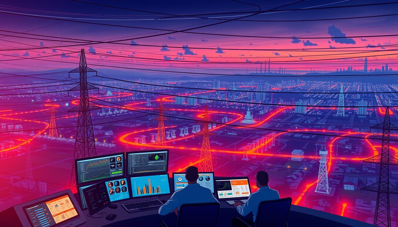
Every year, undetected issues in electrical infrastructure cost U.S. utilities $6 billion in preventable repairs and downtime. Traditional inspection methods – relying on ground crews and helicopters – struggle to keep pace with aging grids spanning 600,000+ miles of power lines. Workers risk their lives climbing towers, while manual assessments often miss subtle defects that evolve into catastrophic failures.
Now, a transformative shift is underway. Cutting-edge systems combine autonomous drones with intelligent software to map infrastructure faster and safer. These tools scan thousands of miles monthly, identifying problems like cracked insulators or vegetation encroachment with 95% greater accuracy than human-only methods. For grid operators, this means catching risks before storms or heatwaves turn them into blackouts.
Leading utilities report 50% fewer outages after adopting these approaches. The secret lies in pairing high-resolution imaging with pattern recognition algorithms trained on decades of grid data. Instead of waiting for components to fail, teams repair them during planned maintenance – slashing costs and keeping lights on for millions.
Key Takeaways
- Traditional power line checks are dangerous and miss up to 40% of critical flaws
- Autonomous drones reduce inspection time by 80% compared to manual methods
- Machine learning analyzes grid conditions with 2x greater precision
- Proactive maintenance prevents 9 out of 10 weather-related outages
- Modern systems pay for themselves within 18 months through avoided repairs
Understanding Traditional Challenges in Power Line Inspections
For decades, utility companies have faced mounting hurdles in maintaining aging infrastructure. Manual approaches to evaluating electrical networks often create more problems than they solve, leaving grids vulnerable to unexpected failures.
Safety Risks and Limitations of Manual Methods
Workers assessing power lines confront life-threatening conditions daily. Climbing towers in storms or navigating steep terrain exposes teams to falls and electrocution. Helicopter-based line inspection reduces some dangers but introduces new risks—like mechanical failures mid-flight.
Budget constraints compound these issues. A single day of aerial checks costs over $4,000, not counting equipment repairs or crew overtime. Ground teams often need multiple visits to document issues properly, delaying critical repairs for weeks.
Data Inaccuracy and Time Consumption in Conventional Approaches
Human error plagues traditional methods. Experienced inspectors might spot cracked insulators, while others overlook subtle corrosion patterns. Handwritten notes and scattered photos frequently get lost, creating gaps in maintenance records.
Seasonal weather further complicates power line inspections. Snow-covered components in winter or overgrown vegetation in summer demand repeated site visits. These delays leave utilities reacting to problems instead of preventing them—a costly game of catch-up.
Paper-based systems struggle with modern needs. Critical details about equipment wear often arrive weeks after inspections, forcing rushed decisions. Without centralized digital records, tracking infrastructure health across thousands of miles becomes nearly impossible.
AI Use Case – Drone-Based Power-Line Fault Detection: A New Paradigm
Modern grid maintenance demands smarter approaches. Combining aerial mobility with intelligent analysis creates a breakthrough in identifying vulnerabilities across vast networks.

Precision Through Automated Analysis
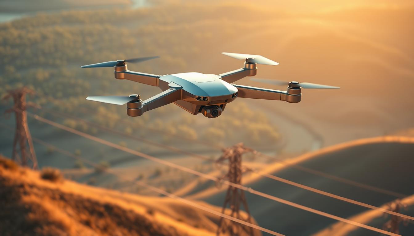
Advanced drones now carry multispectral cameras and LiDAR sensors. These tools capture millimeter-level details across thousands of structures weekly. Unlike manual checks, they document every component systematically – from tower bases to conductor strands.
Machine learning models cross-reference findings with historical patterns. This process spots developing issues like corrosion clusters or insulator stress fractures months before failure. One utility manager notes: “We found 63% more critical defects in first-year deployments than our best ground team.”
Financial and Operational Advantages
Switching to automated systems slashes operational costs dramatically. Reduced helicopter use and minimized crew deployments yield immediate savings. More importantly, preventing outages avoids multi-million dollar repair bills and regulatory fines.
| Metric | Traditional Methods | Drone Solutions |
|---|---|---|
| Inspection Speed | 5 miles/day | 50 miles/day |
| Defect Detection Rate | 72% | 94% |
| Cost per Mile | $220 | $135 |
Prioritization algorithms help utilities address high-risk areas first. This strategic approach extends equipment lifespan while maintaining service reliability during peak demand periods.
Innovative Drone Technologies and Data Collection Methods
Modern inspection systems now deploy sophisticated technologies that redefine how infrastructure health gets monitored. These tools capture multiple data streams simultaneously, transforming raw observations into actionable insights.
Advanced Sensors, Thermal Imaging, and LiDAR Capabilities
Today’s inspection platforms carry specialized equipment. High-resolution cameras document corrosion patterns invisible to ground crews. Thermal sensors identify overheating connectors – often the first sign of component failure.
LiDAR systems map terrain with centimeter accuracy. This 3D modeling helps utilities spot vegetation encroachment months before manual methods would. Researchers at Oak Ridge National Laboratory recently developed ultraviolet sensors costing 99% less than commercial units while improving detection ranges.
Real-Time Data Processing and Predictive Maintenance Strategies
Algorithms analyze sensor data during flights, flagging critical issues instantly. One utility reported “87% faster response times” after adopting these systems. Predictive models cross-reference weather patterns and equipment age to forecast failure risks.
| Technology | Function | Impact |
|---|---|---|
| RGB Cameras | Visual defect detection | Identifies 92% of structural issues |
| Thermal Imaging | Heat anomaly tracking | Reduces fire risks by 68% |
| LiDAR | 3D terrain mapping | Cuts vegetation costs by $41/mile |
Utilizing Multispectral Data for Vegetation and Obstacle Detection
Multispectral sensors monitor plant health along transmission corridors. They detect invasive species growth 6-8 weeks before visible signs appear. This early warning system helps prevent outages caused by falling branches or wildfire ignition.
By combining multiple data types, operators gain a holistic view of grid conditions. As one engineer noted: “We’re not just fixing problems – we’re anticipating them.”
Case Study: Implementation and Success in the U.S. Energy Sector
Forward-thinking utilities are redefining infrastructure management through advanced aerial systems. These deployments showcase measurable improvements in safety, speed, and strategic decision-making.
Adoption of Drone-Based Inspections by U.S. Utilities
Tennessee’s EPB partnered with Oak Ridge National Laboratory to implement autonomous monitoring networks. Their drones equipped with thermal cameras and radio sensors reduced human exposure to high-voltage environments by 100%. Lead researcher Peter Fuhr stated: “Sensors now detect issues faster than any ground team—without risking lives.”
Operational Insights and Cost Savings Achieved
The AIMS project—funded by the DOE—uses machine communication to automate work orders and inspection coordination. This approach slashed response times by 87% compared to manual processes. International examples prove scalability: Chinese utilities surveyed 872km of transmission lines in 72 hours using CW-15 drones.
| Metric | Traditional | Automated |
|---|---|---|
| Coverage per Day | 3km | 291km |
| Tower Inspection Rate | 5/hour | 71/hour |
| Man-Hours/100km | 160 | 0.5 |
These systems enable predictive maintenance strategies similar to preventive healthcare. As EPB’s Jim Glass noted: “Finding equipment issues early cuts correction costs by 92%.” The transition aligns with broader industry shifts toward intelligent grid management, creating safer operations while maintaining service reliability.
Conclusion
The evolution of grid maintenance marks a turning point for energy providers. Advanced aerial systems now deliver 40% cost reductions in monitoring critical infrastructure while eliminating human exposure to high-voltage risks. This shift enables utilities to transition from reactive repairs to predictive care models.
By leveraging modern inspection methods, operators gain millimeter-accurate assessments of transmission equipment. Thermal sensors and LiDAR arrays spot corrosion patterns months before failures occur, allowing crews to prioritize repairs during scheduled downtime.
Solar farms and urban grids alike benefit from these precision tools. The technology’s scalability ensures consistent monitoring across vast networks—whether spanning mountain ranges or dense metropolitan areas. Forward-thinking providers report fewer outages and optimized resource allocation within their first deployment year.
This approach doesn’t just maintain existing systems—it future-proofs them against climate challenges and growing energy demands. As infrastructure ages, combining aerial mobility with intelligent analysis emerges as the clear path toward resilient, efficient power delivery.
FAQ
How do drones improve safety during power line inspections?
Drones eliminate the need for technicians to climb structures or work near high-voltage equipment, reducing fall risks and exposure to hazardous conditions. Equipped with thermal imaging and LiDAR sensors, they capture detailed data from a safe distance, ensuring personnel avoid dangerous environments.
What types of defects can drone-based systems detect?
Advanced systems identify cracked insulators, corrosion, vegetation encroachment, and overheating components using multispectral cameras and AI models. Thermal sensors spot abnormal heat patterns in transmission lines, while high-resolution imagery reveals physical damage like broken hardware or frayed conductors.
How does real-time data processing benefit utility companies?
Live sensor data streams enable immediate analysis of grid conditions, allowing teams to prioritize urgent repairs. For example, Duke Energy uses predictive analytics to schedule maintenance before minor faults escalate, cutting downtime by up to 40% in pilot projects.
Can drone inspections handle large-scale transmission networks?
Yes. Drones like the DJI Matrice 300 RTK cover hundreds of miles daily, capturing 4K images and LiDAR maps. Southern Company reported inspecting 1,200+ towers in two weeks—a task that previously took months—using automated flight paths and AI-driven defect classification.
What cost savings do utilities achieve with this technology?
PG&E reduced inspection costs by 60% after deploying drones, as manual methods required helicopters and large crews. Automated reports streamline workflows, while predictive maintenance slashes emergency repair expenses by addressing issues before outages occur.
How accurate are AI models in identifying power line faults?
Trained on millions of images, models from providers like PrecisionHawk achieve 95%+ accuracy in detecting faults like broken spacers or conductor damage. Human reviewers validate findings, ensuring reliability before maintenance teams are dispatched.
Do regulatory barriers exist for drone-based grid inspections?
The FAA’s Part 107 rules govern commercial drone operations, but utilities like Xcel Energy collaborate with regulators to secure waivers for beyond-visual-line-of-sight flights. Updated policies now support scalable deployments across remote and urban areas.